17th June 2022: The challenge of governance is to ensure that progress reaches the remotest corners of the country. The mandis and the rural link roads connecting them are one of the most crucial assets of the state of Punjab. Historically, it has been a hard and manual process to create an inventory, track the repair, and construction of rural link roads across the state. Not to mention the update of the same records. The overall data creation, and digitization of the physical assets of mandis, and their day-to-day functioning have been difficult to bring online until now.
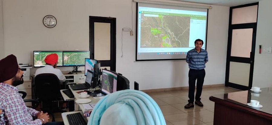
Punjab Mandi Board has established a GIS Command and Control Center to combat these problems, bringing a framework to the data collection on the ground, with a team of over 300 employees across Punjab, including Joint Engineers, SDOs, and nodal officers trained on the system to maintain statewide consistency.

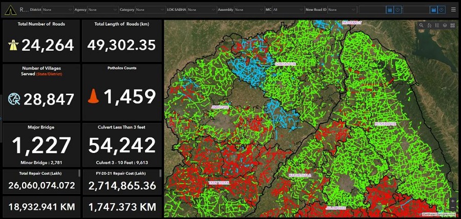
The Punjab Mandi Board and Department of Governance Reform collaborated with the implementing agency DronaMaps and have already digitised and incorporated 110 Mandis and 24,262 rural link roads in the GIS command center. We are creating a framework where the team on the ground can collaborate on full-motion video feeds from drones to geotag areas that need repair, all on a central command and control center. To this end, with DronaMaps we have established a GIS command center at the Punjab Mandi Board office fostering innovation from within with Indian startups, says IAS Ravi bhagat, Secretary, Punjab Mandi Board.
Jasminder Pal Singh, Head of SeMT((MeitY) for Punjab highlights the objectives of the new system to “provide the department an accurate understanding of the state of roads and mandis. Over the next few months, Punjab Mandi Board plans to integrate this citizen feedback on the status of roads and with the inventory and transactions happening in Mandis as well. In addition, as most data is being collected through drones and mobile phones, it would go through automated screening procedures and manual geotagging to allow supervisors the ability to zero down in which areas the road repair work is happening effectively.”
Ayushi Mishra, COO, DronaMaps, says that “The potential implications of this initiative are far-reaching, Punjab Mandi Board now has a dynamically updating geospatial command center. We are in the process of deploying capabilities like collaboration on drone video feeds to geotag roads in need of repair, visit, enlist, or track inventory in digital twins of Mandis. Thereby, bringing the best of technology, drones, metaverse digital twins, and GIS to the ground and at scale with Punjab Mandi Board”.


